 North Industrial Area

Roads
Roads
The road hierarchy, from the entrance boulevards to the internal streets.
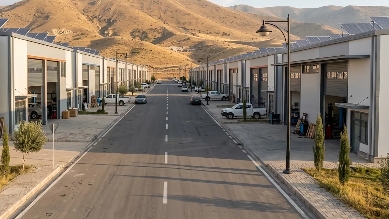 Illustrative visualisation
 Illustrative visualisation


50 m
Entrance boulevard
At the two main entrances
Cross-section (diagram)
50 m
Construction status
Planned
0% complete
At the two main entrances
Where on the site
30 m
Main road
Main roads between zones
Cross-section (diagram)
30 m
Construction status
Planned
0% complete
Main roads between zones
Where on the site
20 m
Internal street
Internal streets between plot blocks
Cross-section (diagram)
20 m
Construction status
Planned
0% complete
Internal streets between plot blocks
Where on the site
Access road
From the external main road to the south main entrance
The access road descends from the external main road to the south main entrance. Stations run from 0+000 at the main road to 0+620 at the gate; elevations are relative to 0+000.
- Length
- 620 m
- Total drop to the gate
- 50.5 m
- Steepest grade
- −10.09 %
Grades
- 0+000 – 0+02020 m−4.72 %
- 0+020 – 0+220200 m−10.09 %
- 0+220 – 0+540320 m−7.99 %
- 0+540 – 0+62080 m−4.78 %
Long section (diagram)
Roundabouts
Roundabouts connect the main road network inside the site, as shown on the master plan drawing.
Guard points
Security guard points at the main entrances — see the guard points facility page.
Guard points facility